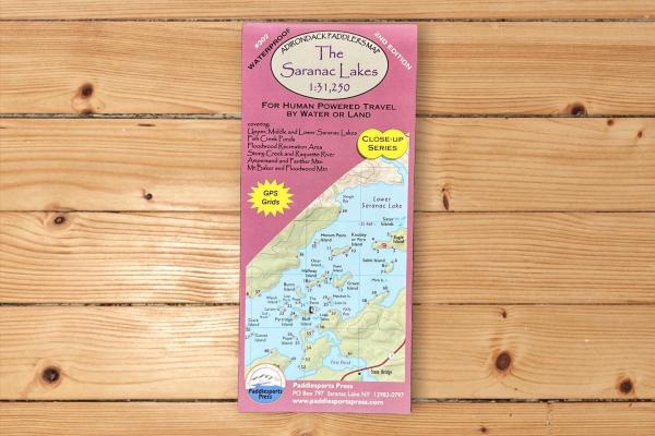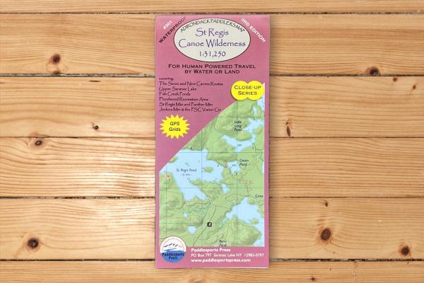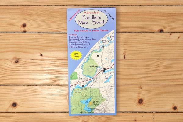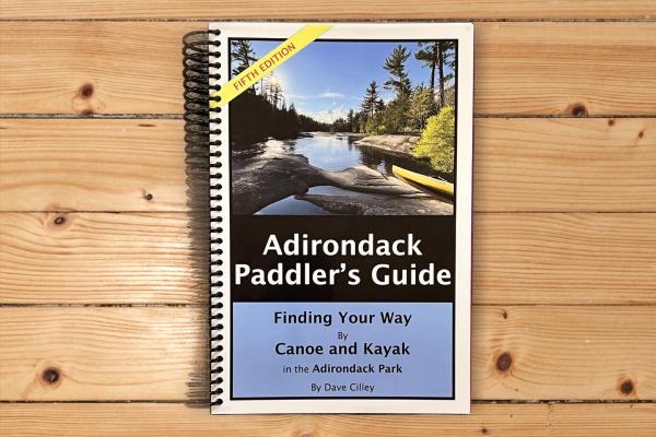
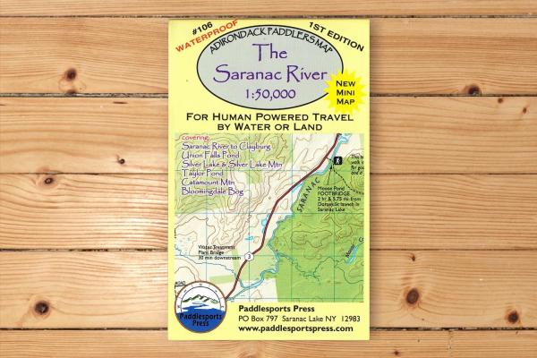

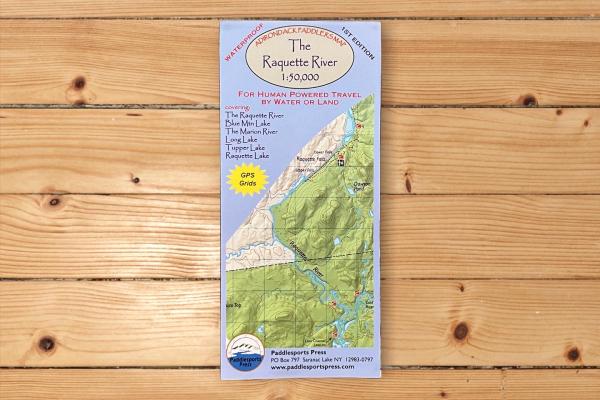
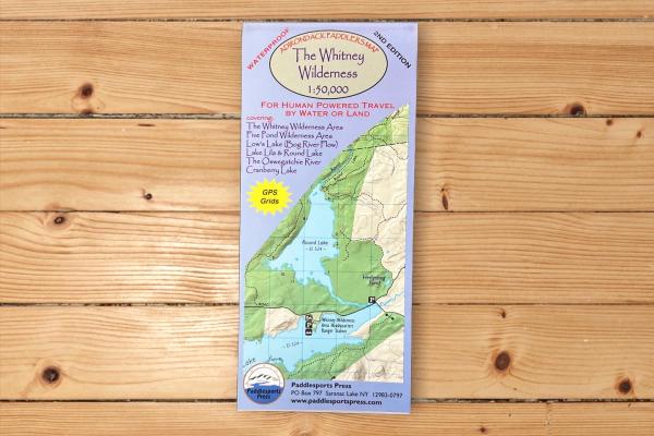
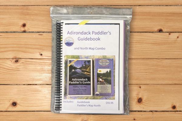
Since 2004 Paddlesports Press has produced maps to help paddlers explore wild places. It all started with the large 44x36” format Adirondack Paddlers Map, made to replace an outdated paper map. Now in its 13th edition, the map has kept pace with digital offerings. Waterproof and reliable, it was simply a paddling map made by & for paddlers. We are proud to be a business under the auspices of St. Regis Canoe Outfitters.