
Maps & Guidebooks

St. Regis Canoe Outfitters

Since 2004 Paddlesports Press has produced maps to help paddlers explore wild places. It all started with the large 44x36” format Adirondack Paddlers Map, made to replace an outdated paper map. Now in its 13th edition, the map has kept pace with digital offerings. Waterproof and reliable, it was simply a paddling map made by & for paddlers. We are proud to be a business under the auspices of St. Regis Canoe Outfitters.


For your convenience, we now have an Online Store, where you can purchase the Paddler's Maps and Guidebooks.

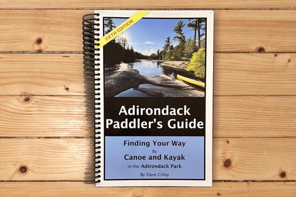
Adirondack Paddler's Guide 5th Edition

starting at 34.95

New 312 page spiral bound Guidebook is a companion to the Paddler’s Maps. Fold back the cover and slip it smartly into a gallon Ziplock bag for detail in any weather. 6”x9” format. Cost: $34.95 … [VIEW MORE]


BUY NOW


The 5th Edition of the Adirondack Paddlers Guide (2022) is completely updated throughout with new info and pictures.  Over 45 additional pages with detail maps for each trip. Additional day trip info and new trips in the Newcomb and Old Forge areas.  Includes changes on the Northern Forest Canoe Trail,  Newcomb area, Boreas Ponds and many other areas.

Covers these areas:

The Fulton Chain of Lakes

The Saranac Lake Chain and the Northern Forest Canoe Trail

The Raquette River, The Ekford Chain of Lakes – Blue Mtn Lk to Raquette Lake

Valcour Island & trips on Lake Champlain

The Whitney and Five Ponds Wilderness including Lake Lila

Little Tupper and the Oswegatchie River

The Newcomb Area Including the Hudson River

The Essex Chain of Lakes, Henderson and Newcomb Lake.

Old Forge area and North Branch of the Moose River.

Call to Order Call 518-891-1838 to Order
Hours: Seven Days a Week 9 am to 5 pm
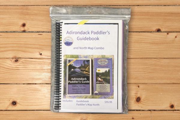
Adirondack Paddler's Map & Guidebook Combo

starting at 49.95

New 312 page spiral bound Guidebook is a companion to the Paddler’s Maps. Fold back the cover and slip it smartly into a gallon Ziplock bag for detail in any weather. 6”x9” format. Cost :$55.95 … [VIEW MORE]


BUY NOW


The 5th Edition of the Adirondack Paddlers Guide (2022) is completely updated throughout with new info and pictures. Over 45 additional pages with detail maps for each trip. Additional day trip info and new trips in the Newcomb and Old Forge areas. Includes changes on the Northern Forest Canoe Trail, Newcomb area, Boreas Ponds and many other areas.

Covers these areas:

The Fulton Chain of Lakes

The Saranac Lake Chain and the Northern Forest Canoe Trail

The Raquette River, The Ekford Chain of Lakes – Blue Mtn Lk to Raquette Lake

Valcour Island & trips on Lake Champlain

The Whitney and Five Ponds Wilderness including Lake Lila

Little Tupper and the Oswegatchie River

The Newcomb Area Including the Hudson River

The Essex Chain of Lakes, Henderson and Newcomb Lake.

Old Forge area and North Branch of the Moose River.

 The Northern Paddlers Map at a scale of 1:50,000 is both waterproof and tear-resistant. The map is shaded to show state land, private lands and wilderness designated lands. The 36" x 44" map folds to 4x9". The metric map features up to date portages, trails, numbered campsites and UTM grids. 

Call to Order Call 518-891-1838 to Order
Hours: Seven Days a Week 9 am to 5 pm
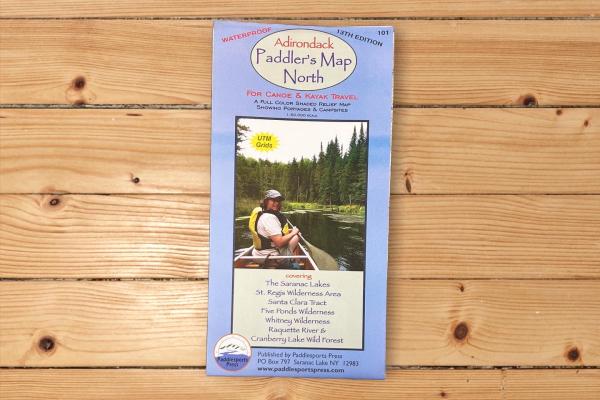
Adirondack Paddler's Map - North

starting at 21.95

1:50,000 scale. (1”=0.8 miles) This map, now in it’s 12th edition has become the quintessential Adirondack Paddling Map. … [VIEW MORE]


BUY NOW


Waterproof and tear-resistant material. Full color, shaded relief and topographic map at a 1:50,000 scale. Shows private land, state land, and wilderness designated lands, in different colors. Mountains shown in shaded relief in addition to topographic lines---map is metric. Up to date portages, trails and numbered campsites. UTM Grids. We ship the most recent edition (12th). Published in 2022!

Covers these areas:

Saranac Lakes

St Regis Wilderness

Santa Clara Tract (including the St Regis & Osgood Rivers)

Five Ponds Wilderness (including the Oswegatchie River)

Whitney Wilderness (incl. Lake Lila)

Cranberry Lake Wild Forest

Raquette River

Call to Order Call 518-891-1838 to Order
Hours: Seven Days a Week 9 am to 5 pm
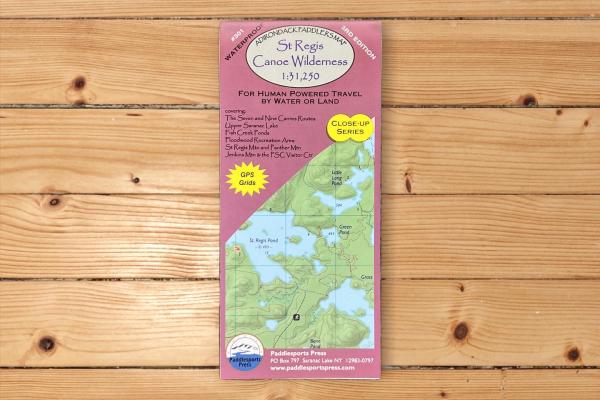
Adirondack Paddler's Map - Close-up Series: St Regis Canoe Wilderness

starting at 9.95

1:31,250 Scale. (1”= 0.5 miles) Real detail of the Upper Saranac Lake, Fish Creek & Rollins Pond Area, and the St Regis Canoe Wilderness Area. … [VIEW MORE]

BUY NOW


Part of the Adirondack Paddler's Map series, waterproof and tear-resistant material. Full color, shaded relief and topographic map at a 1:31,250 scale (Approx 1" to 1/2 mile).  18X24" format folded to approximately 4x9".  

Shows private land, state land, and wilderness designated lands, in different colors. Mountains shown in shaded relief in addition to topographic lines---map is metric. Up to date portages, trails and numbered campsites. UTM Grids. We ship the most recent edition (3rd).  Published in 2021!

Covers these areas:

St Regis Wilderness

St. Regis Lakes

Paul Smiths Area

Upper Saranac Lake

Floodwood/Fish Creek Area

Raquette River from Stony Creek to Tupper Lake


Call to Order Call 518-891-1838 to Order
Hours: Seven Days a Week 9 am to 5 pm
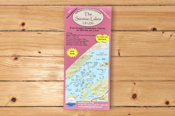
Adirondack Paddler's Map - Close-up Series: Saranac Lakes

starting at 9.95

1:31,250 Scale. (1”= 0.5 miles) A detailed view of the entire Saranac Lake Chain, the Fish Creek Ponds Area, and the Raquette River to Tupper Lake. Cost: $9.95 … [VIEW MORE]


BUY NOW


Part of the Adirondack Paddler's Map series, waterproof and tear-resistant material. Full color, shaded relief and topographic map at a 1:31,250 scale (Approx 1" to 1/2 mile). 18X24" format folded to approximately 4x9".

Shows private land, state land, and wilderness designated lands, in different colors. Mountains shown in shaded relief in addition to topographic lines---map is metric. Up to date portages, trails and numbered campsites. UTM Grids. We ship the most recent edition (2nd).  Published in 2018!

Covers these areas:

Upper, Middle & Lower Saranac Lake

Fish Creek, Rollins Pond  & Floodwood Road Area

Raquette River from Stony Creek Ponds to Tupper Lake

Lake Flower & Oseetah Lakes


Call to Order Call 518-891-1838 to Order
Hours: Seven Days a Week 9 am to 5 pm
The Saranac River

starting at 6.95

1:50,000 scale map of the Saranac River from Saranac Lake Village to Clayburg. Cost: $6.95 … [VIEW MORE]


BUY NOW


Size of map is 12" x 18".   Map includes:

Detail Village map of Saranac Lake

Bloomingdale Bog

Moose Pond

Franklin Falls Pond

Union Falls Pond

Taylor Pond

Catamount Mountain

Silver Lake Mountain

Call to Order Call 518-891-1838 to Order
Hours: Seven Days a Week 9 am to 5 pm
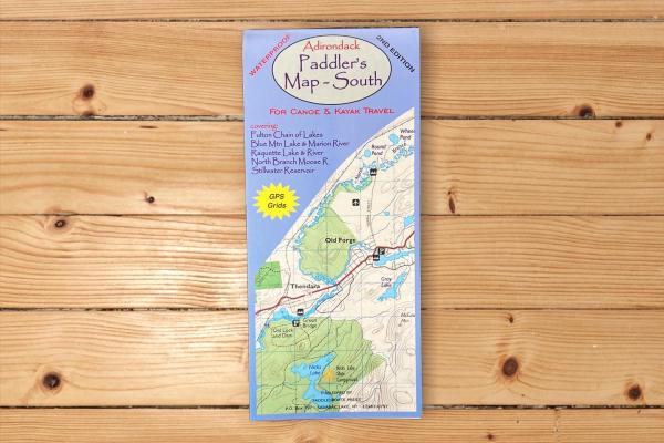
Adirondack Paddler's Map - South

starting at 9.95

Same great detail as the Adk Paddler’s Map – North, this map covers the Area from Old Forge to Long Lake including the first leg of the Northern Forest Canoe Trial. Cost: $9.95 … [VIEW MORE]


BUY NOW


Waterproof and tear-resistant.  Full color, shaded relief and topographical map at 1:50,000 scale.  Shows private land, state land and wilderness designated lands, in different colors.  Mountains shown in shaded relief in addition to topographical lines--map is metric.  Up to date portages, trails, and numbered camp sites. GPS Grids.  Published in 2012.

Covers these areas:

Fulton Chain of Lakes

Blue Mountain Lake & Marion River

Raquette Lake & River

North Branch Moose River

Stillwater Reservoir

Call to Order Call 518-891-1838 to Order
Hours: Seven Days a Week 9 am to 5 pm
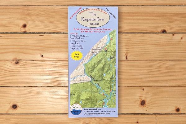
Adirondack Paddler's Map - Raquette River

starting at 9.95

1:50,000 scale. (1"=0.8 miles) of Raquette River … [VIEW MORE]


BUY NOW


Waterproof and tear-resistant material. Full color, shaded relief and topographic map at a 1:50,000 scale; 18X24" format folded to approximately 4x9".  Shows private land, state land, and wilderness designated lands, in different colors. Mountains shown in shaded relief in addition to topographic lines---map is metric. Up to date portages, trails and numbered campsites. UTM Grids. We ship. This is the 2nd edition (published in 2017).

Covers these areas:

Raquette River

Blue Mountain Lake

The Marion River

Long Lake

Tupper Lake

Raquette Lake

Call to Order Call 518-891-1838 to Order
Hours: Seven Days a Week 9 am to 5 pm
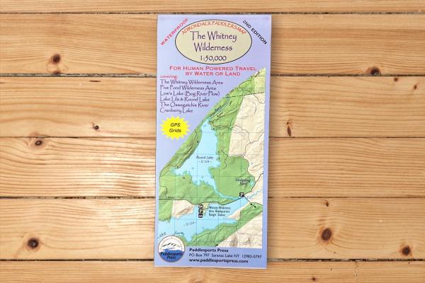
Adirondack Paddler's Map - Whitney Wilderness

starting at 9.95

1:50,000 scale. (1"=0.8 miles) of Whitney Wilderness, Five Ponds Wilderness, and Cranberry Lake area. Cost: $9.95 … [VIEW MORE]


BUY NOW


Waterproof and tear-resistant material. Full color, shaded relief and topographic map at a 1:50,000 scale; 18X24" format folded to approximately 4x9".  Shows private land, state land, and wilderness designated lands, in different colors. Mountains shown in shaded relief in addition to topographic lines---map is metric. Up to date portages, trails and numbered campsites. UTM Grids. We ship.  Published in 2017.

Covers these areas:

The Whitney Wilderness Loop

Cranberry Lake 50

Bog River Flow

Lake Lila

Round Lake

The Oswegatchie River

Five Ponds Wilderness

Call to Order Call 518-891-1838 to Order
Hours: Seven Days a Week 9 am to 5 pm
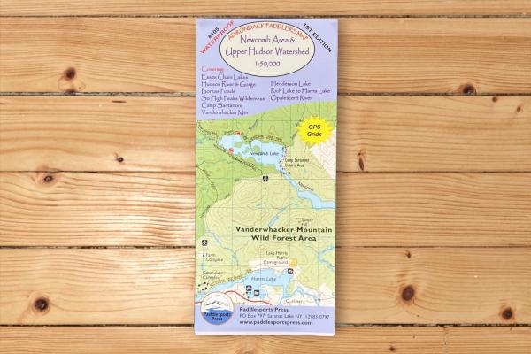
Newcomb Area & Upper Hudson Watershed

starting at 14.95

1:50,000 (1"=0.8 miles) A long awaited detail map covering the Upper Hudson River, the Essex Chain Lakes, Boreas Ponds, Henderson Lake, and the Camp Santanoni area. … [VIEW MORE]


BUY NOW


Map is 18" x 36".  Other areas that are covered include:

Southern High Peaks Wilderness

Vanderwhacker Mountain Wild Forest

Hudson River Gorge

Opalescent River

Rich Lake to Harris Lake

Schroon River North of Schroon Lake

Call to Order Call 518-891-1838 to Order
Hours: Seven Days a Week 9 am to 5 pm