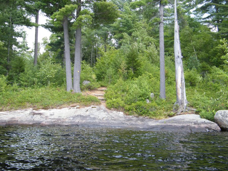
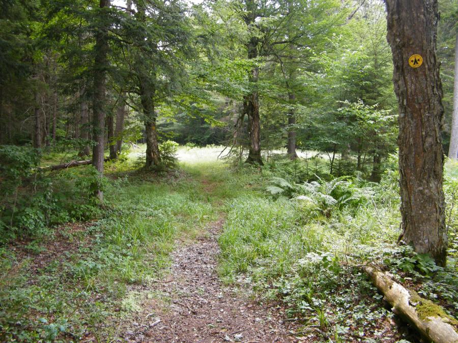
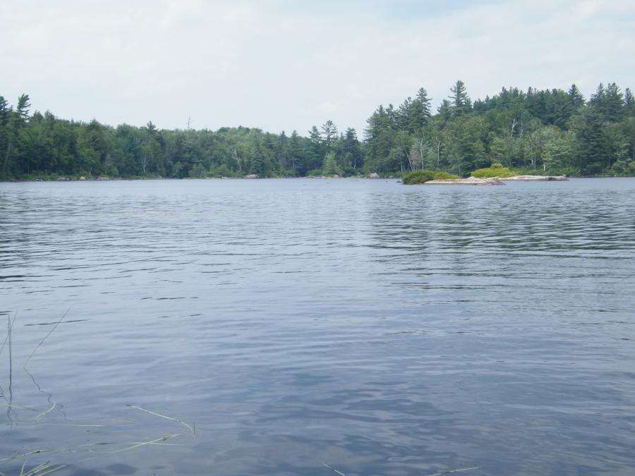
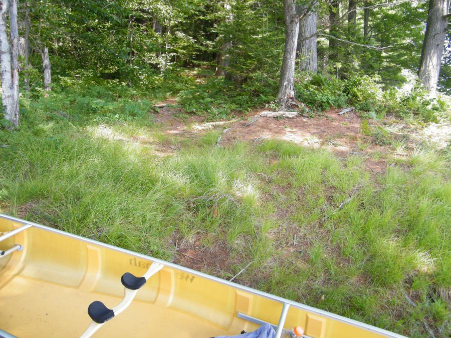
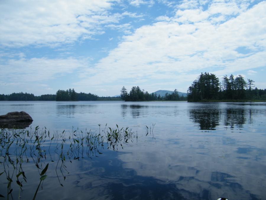
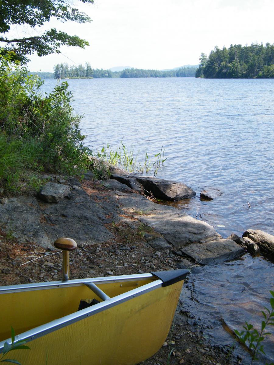
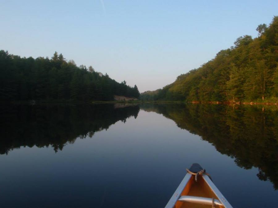
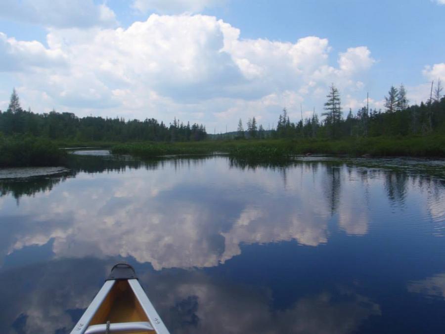
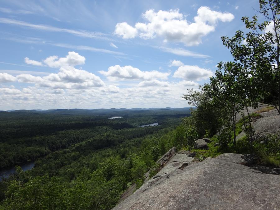
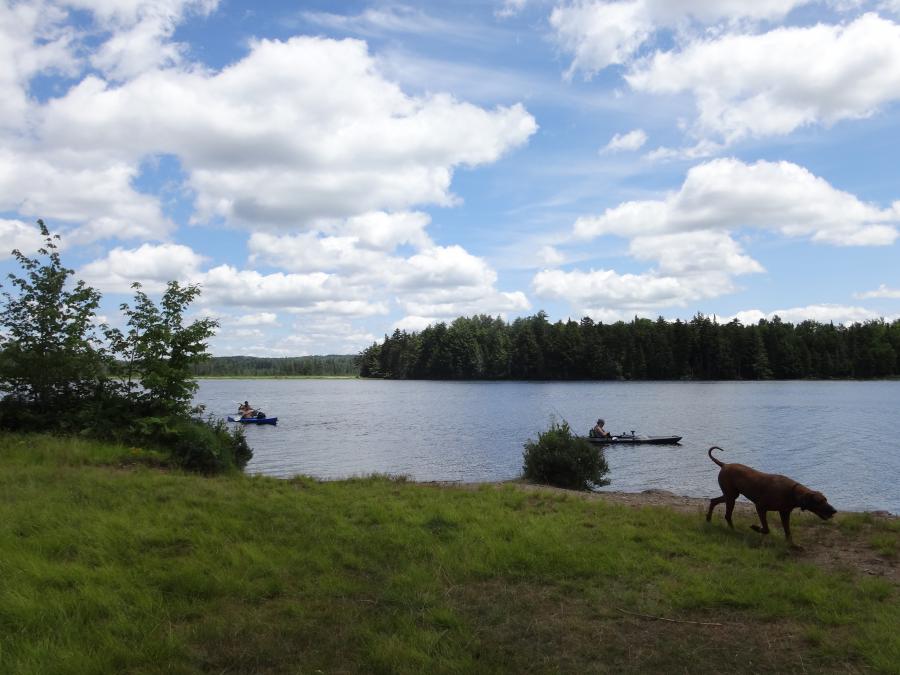
This strenuous route includes Round Lake, Little Tupper, Lila, Bog Lake, and the Bog River through Low’s Lake to Low’s Lower Dam Access. It provides a degree of remoteness and wild character that is rare. Portages (up to 1.2 miles) are sometimes unmarked and are often rough. Up to class II rapids will need to be run. Lining skills, wading and portaging over rough trails all come into use. Three mountain side hikes are possible and recommended. Many people shorten this by doing the Little Tupper Lake to Lake Lila and continue on to Low's Lake and Low's Lower Dam to make it a 5-6 day trip. This also cuts out the whitewater part of the trip---a plus or a minus depending on your boat and skills. Having two vehicles or getting a shuttle makes the trip possible.
The best map for this route is the Adirondack Paddler's Map The Whitney Wilderness.
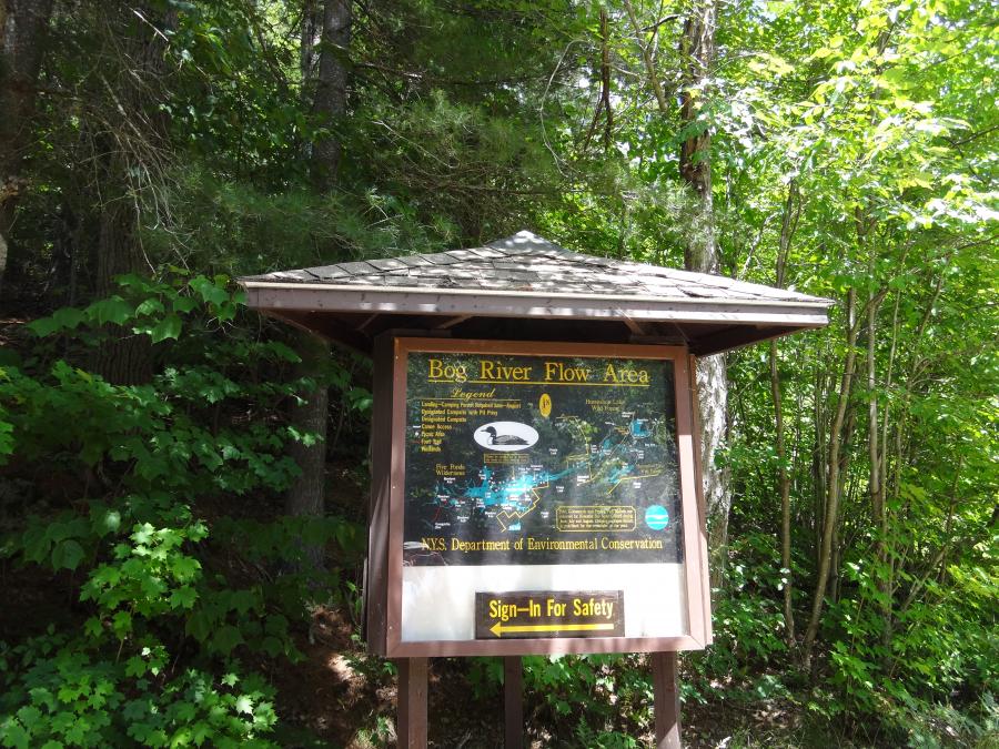
The map image above is strictly for the purpose of providing a visual of the canoe route. It is not intended for directional purposes.