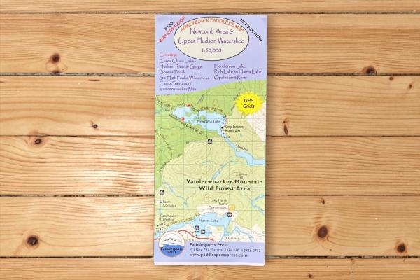
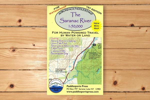
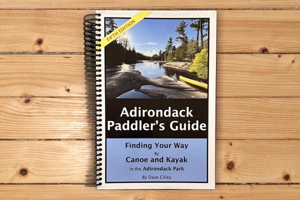
Maps & Guidebooks - Paddlesports Press
Since 2004 Paddlesports Press has produced maps to give you the tools to explore wild places. It all started with the large 44x36” format Adirondack Paddlers Map, made to replace an outdated paper map. Now in it's11th edition the map has kept pace with digital offerings. Waterproof and reliable, it was simply a paddling map made by & for paddlers. We are proud to be a business under the auspices of St. Regis Canoe Outfitters.
Select the map or guidebook best for your next paddling adventure. As we like to say, our maps are built to build your confidence. Order online via our Online Store, or by calling St. Regis Canoe Outfitters at 1-518-891-1838. All major credit cards accepted. Prices: We will honor our published prices. Guarantee: We guarantee your satisfaction
Buying as a gift, but not sure which map you need? We have gift cards available through our Online Store.
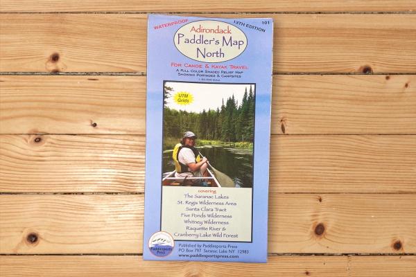
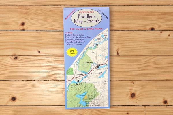
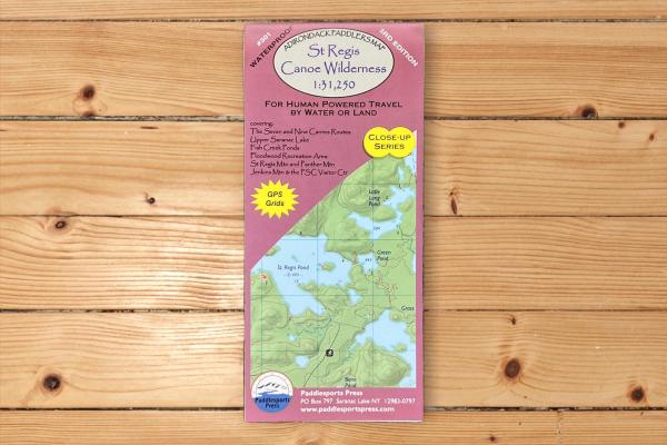
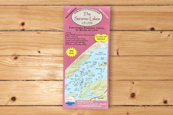
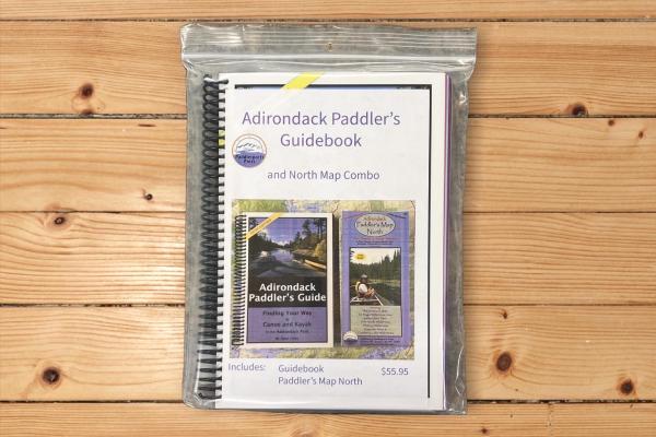
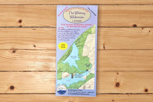
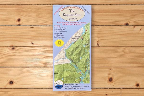
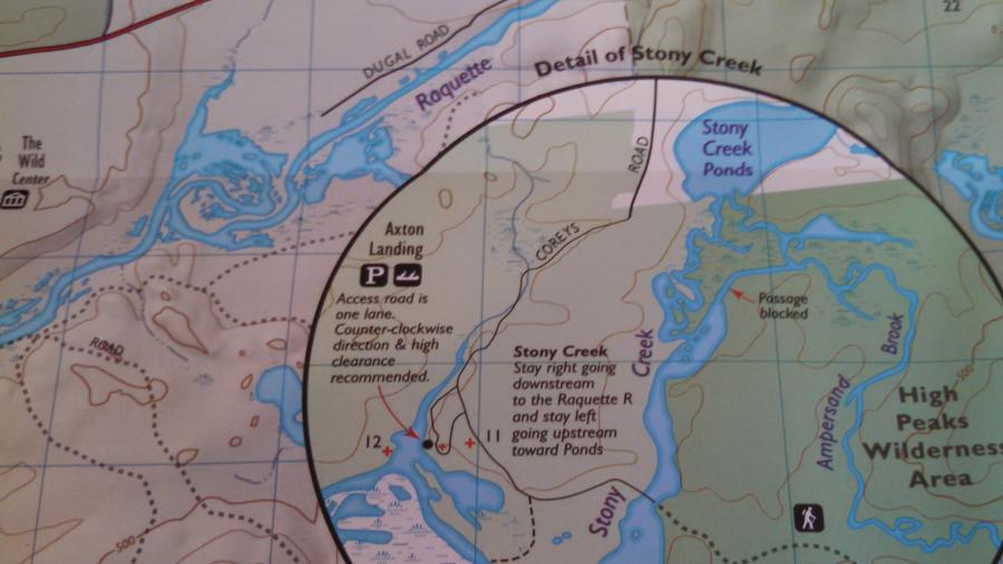
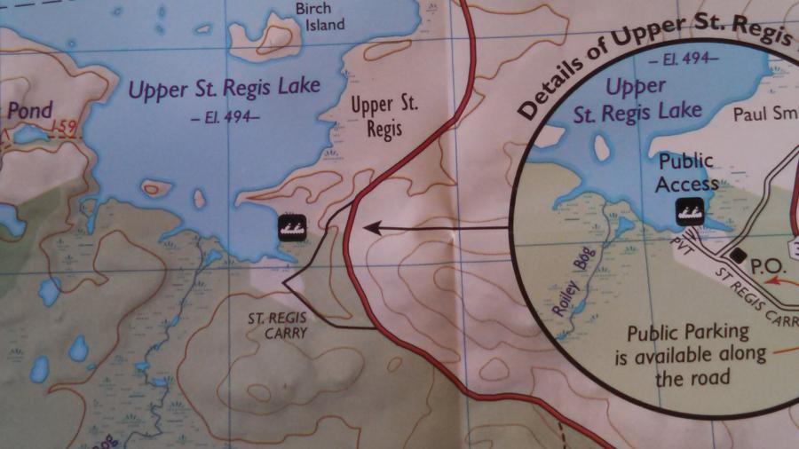
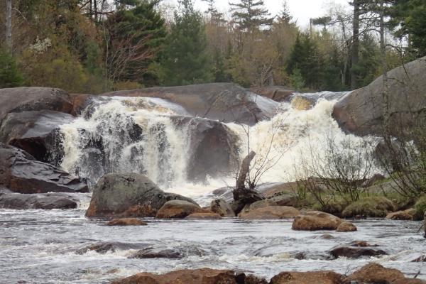
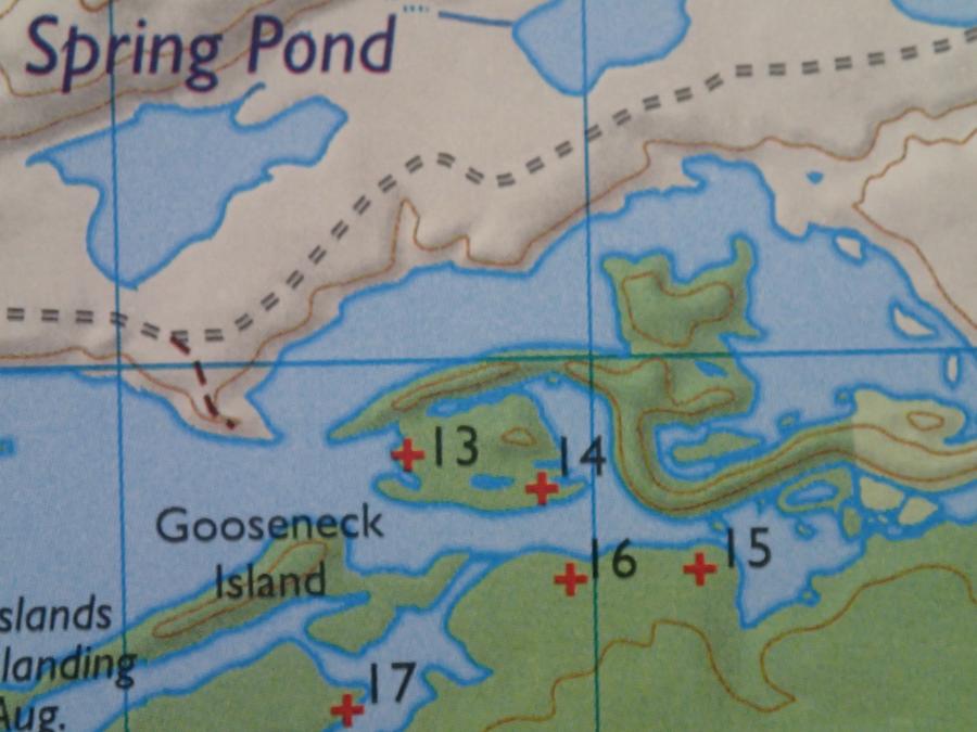
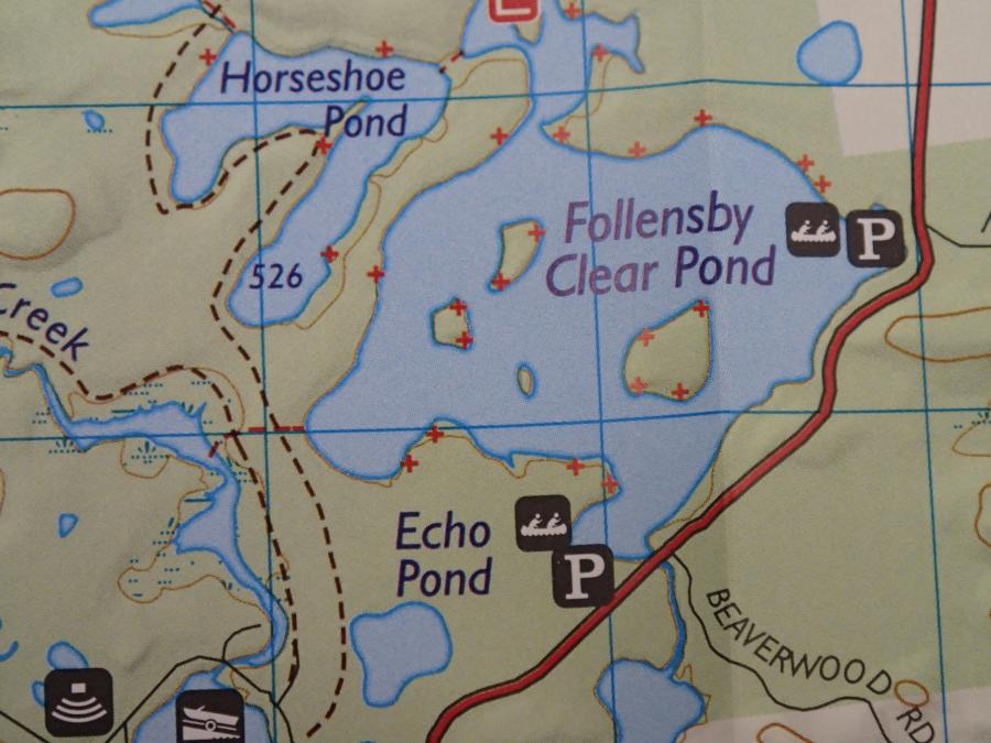
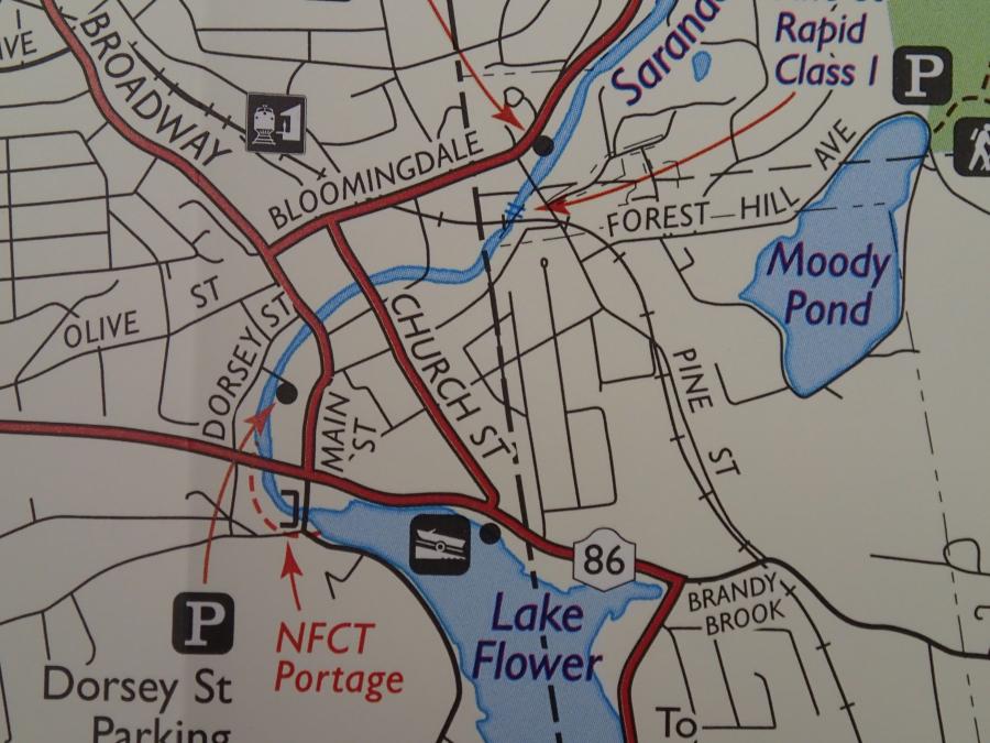
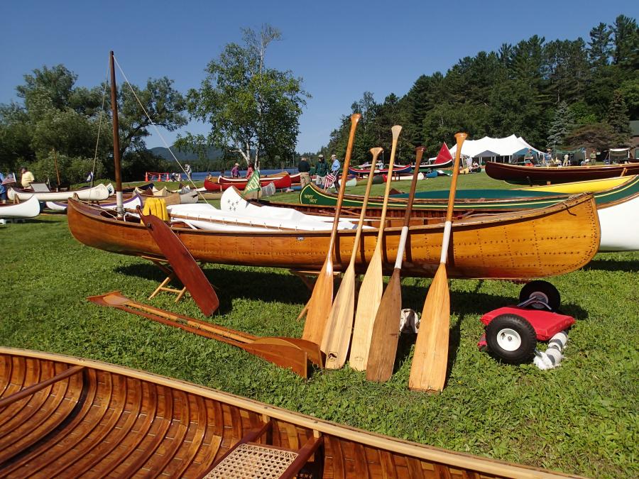
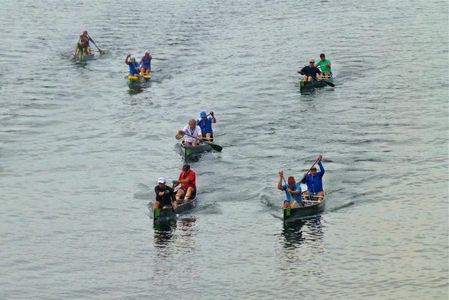
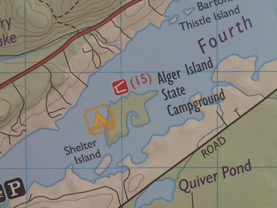
The photos below are images of places on the maps, as well as close ups of the maps. Reviews of Our Maps: Adirondack Explorer: Adirondack Paddler's Map North Review 2004, Adirondack Paddler's Map Close-Up Series 2014 & Guidebook Review Adirondack Almanac: Adirondack Paddler's Map North & South Review Amazon: Adirondack Paddler's Guidebook